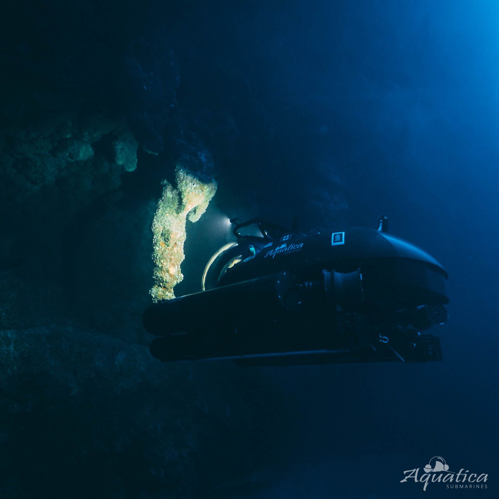
In November of 2018 Aquatica Submarines shipped a three person submarine, Stingray 500, across frosty North America on the back of a truck then over the rolling winter seas of the Gulf of Mexico to Belize aboard the R/V Brooks McCall. Our destination was a site located 7 miles into Lighthouse Reef – a perfect sinkhole in the ocean known as the Great Blue Hole. We traveled to this UNESCO World Heritage site to explore and document a geologic phenomenon in support of conservation science and to conduct outreach. Our mission was two fold, map the Great Blue Hole using high resolution sonar and take people worldwide on this journey with us on broadcast TV. Everything we collected, from CTD data and dissolved oxygen content, to video footage and experiential data, gives us the fodder we need to tell a story about an unusual place on our planet most people have never seen, until now.

Geology from not-a-geologist
Over the past 14,000 years the polar ice caps, formed during the last glacial maximum, have thawed and raised sea level in steps. These defrosting events are captured in a stone record of an oceanic sinkhole in Belize. The aptly named Great Blue Hole is a collapsed cave, filled with stalactite caverns, and built up from layers of fine limestone and rougher calcium carbonate walls. The stepped rise of sea level can be seen in the form of terraces carved deeply by erosion into the otherwise vertical rock walls. Straight vertical stretches of wall are free of erosion because sea level rose rapidly during a few brief decades between each step. As each melting event took place sea level rose dramatically, as much as 100 feet in 100 years, followed by centuries of stability. Preserved from the disturbance of time, and isolated in the darkness, the hole holds clues to a very natural part of our planet’s life cycle. It’s these terraces and stalactites we set out to map.

Read More “Logs from a majestic pit of acid: Diving Belize’s Blue Hole with Erika Bergman.” »
